Standard navigation algorithms are fundamentally flawed when applied to unpaved alpine tracks. They don't know that a recent freeze-thaw cycle washed out a shelf road at kilometer twelve, or that a 20% gradient through hairpin gravel reduces your average speed from 40 km/h to just 9 km/h.
1. Elevation Profiles and Gradient Calculation
When studying a potential alpine trail, your first analysis should be the elevation cross-section. Note both the total climb and the rate of ascent. Continuous grades over 15% on loose, unpaved scree create heavy thermal strain on automatic transmissions and transfer cases.
Furthermore, atmospheric pressure drops roughly 10% for every 1,000 meters above sea level. Naturally aspirated engines lose roughly 3% power per 300 meters, meaning that at a 2,500-meter pass, a non-turbocharged engine produces nearly a quarter less torque than at sea level. Your gearing selection must account for this loss.
2. Transit Speed vs. Real-World Mountain Time
Novice drivers consistently overestimate how much ground they can cover in a single day. On technical alpine tracks, realistic average speeds typically fall into three brackets:
- Graded Forestry Gravel: 25 to 35 km/h. Easy transit with passing opportunities.
- Historic Military Ridge Tracks: 12 to 18 km/h. Frequent hairpin reversals, single-track shelves with sheer drop-offs, and surface boulders.
- Technical Pass Traversals & Scree Beds: 5 to 8 km/h. Continuous spotting, wheel placement adjustments, and gate negotiations.
Planning an eighty-kilometer off-road traverse in a single afternoon almost guarantees you will be driving treacherous switchbacks after sunset—a situation seasoned expedition leaders strictly avoid.
3. Fuel Consumption Math in Low Range
Your vehicle's dashboard fuel consumption gauge is lying to you when you are in four-wheel low. Crawling in second gear at 3,000 RPM while climbing 1,500 vertical meters can triple or quadruple your normal fuel consumption rate.
The "Rule of Thirds" Fuel Strategy
Divide your total usable fuel capacity into three equal reserves: one third to reach your objective, one third to complete the loop or descend the planned pass, and one third strictly reserved for detours, unexpected bails, or cold idling if an axle breaks.
4. Navigation Redundancy and Satellite Verification
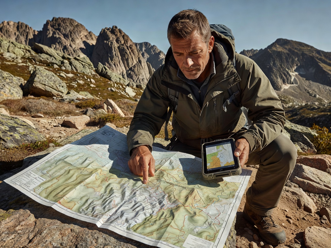
Never rely on an active mobile cellular connection for mountain navigation. Pre-load your maps using multiple layers:
| Layer | Source / Tool | Critical Value |
|---|---|---|
| Vector Topo | 1:25,000 contour data | Accurate slope gradients, cliff bands, and water drainage gullies. |
| Satellite Imagery | High-res offline aerials | Detects recent landslide scars, rockfall debris, and trail overgrown sections. |
| Physical Paper Map | Waterproof topographical sheet | 100% immune to dead batteries, water immersion, or cracked screens. |
5. Emergency Access & Bailout Route Architecture
Every rigorous mountain route plan must include pre-identified "bailout points." A bailout is a designated intersection or secondary track that allows you to drop down into a populated valley before reaching the treacherous summit pass.
Establish clear decision deadlines: for example, "If the convoy has not passed Waypoint Charlie by 14:00, we do not proceed over the summit saddle; we take Valley Exit West." This removes emotional debate from the cab when weather deteriorates.
Learn more about what equipment is needed to protect your chassis during these routes in our 4x4 Expedition Preparation Guide, or read our breakdown of Vehicle Recovery and Field Safety.